
Latitude Geospatial
Precise Geospatial Data to De-Risk Your Projects
Your award-winning strategic partner, delivering global geospatial solutions and data-driven insights to transform your projects
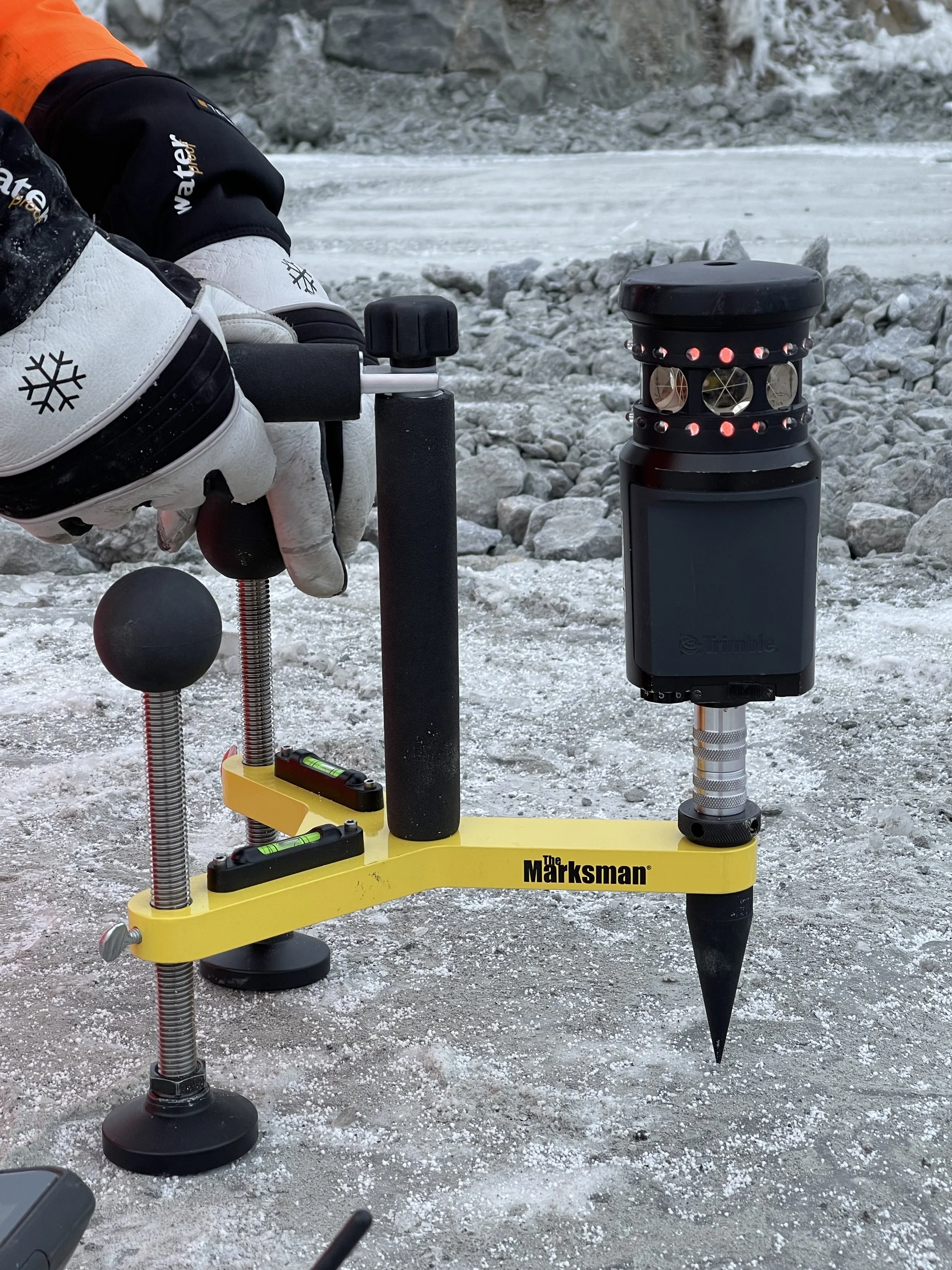
At Latitude Geospatial, we are passionate about the transformative power of geospatial technology. With decades of industry experience throughout various sectors, we support you and your projects with expert geospatial insights.
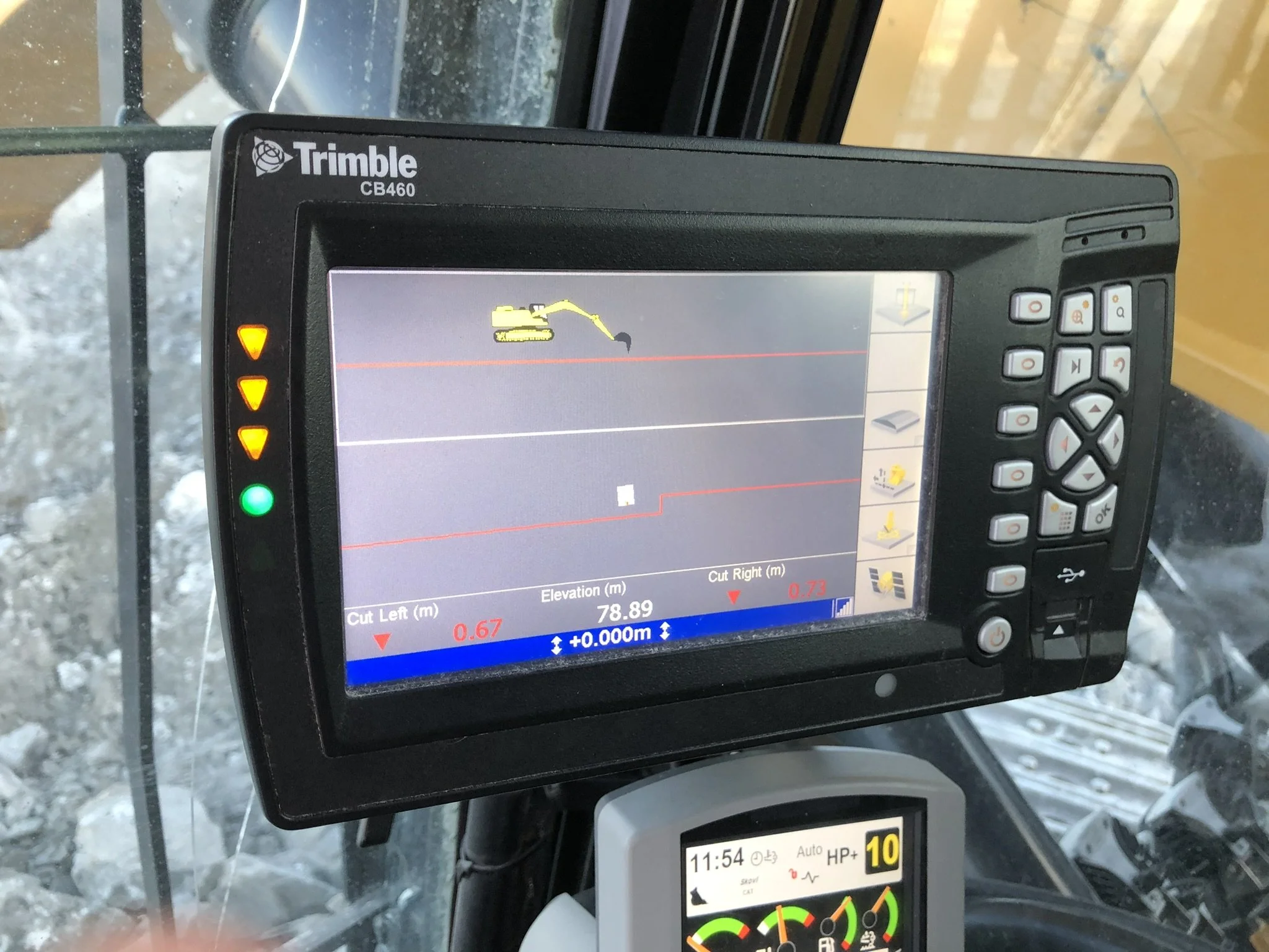
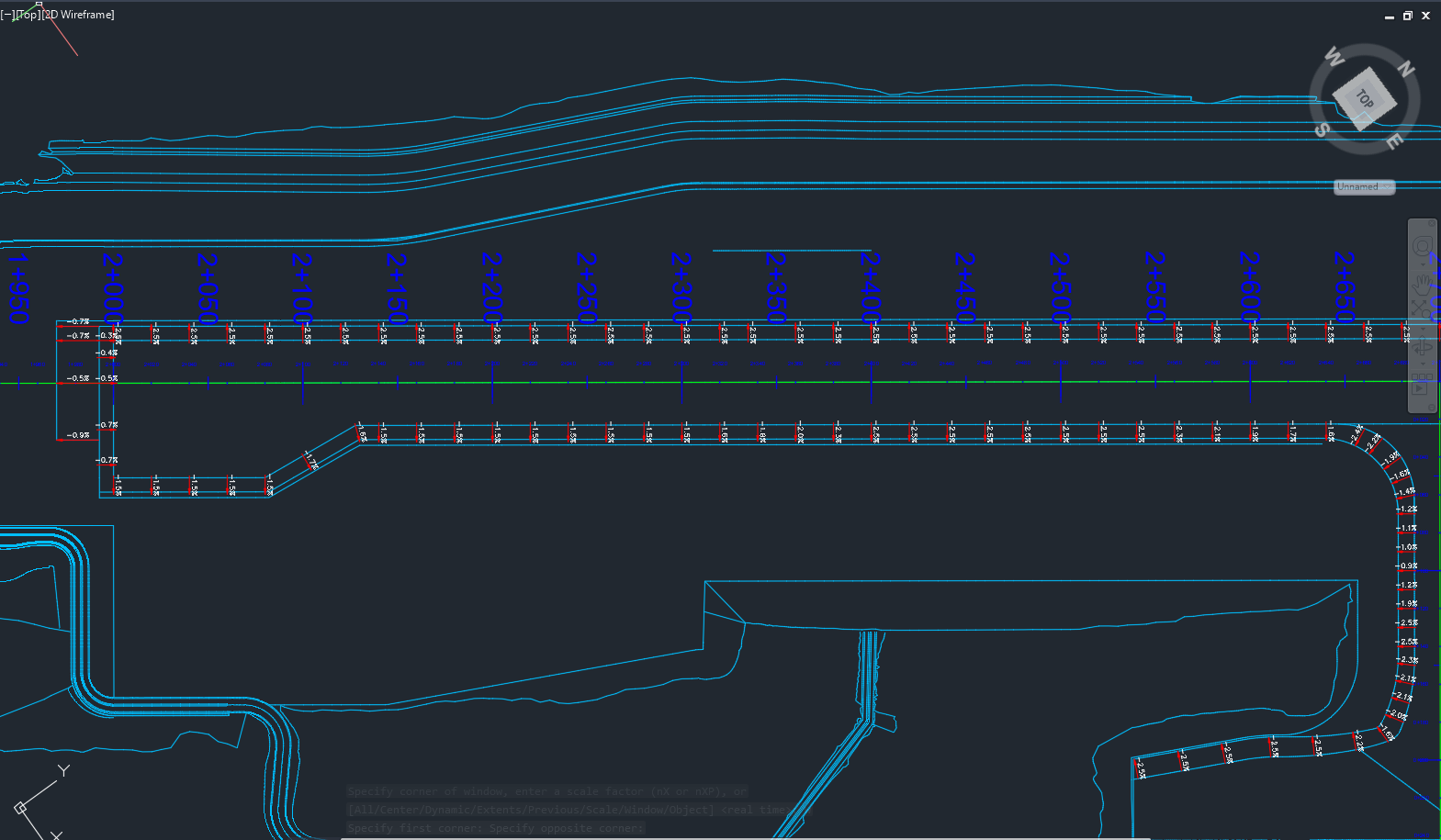
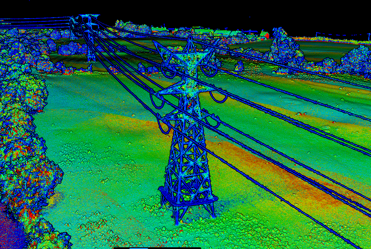
Our focus centres on utilising innovative data collection, analytics, and presentation techniques to empower businesses and organisations in making decisive decisions. As a customer-centric organisation, we pride ourselves on understanding your unique needs and customising our solutions to drive real impact and success.
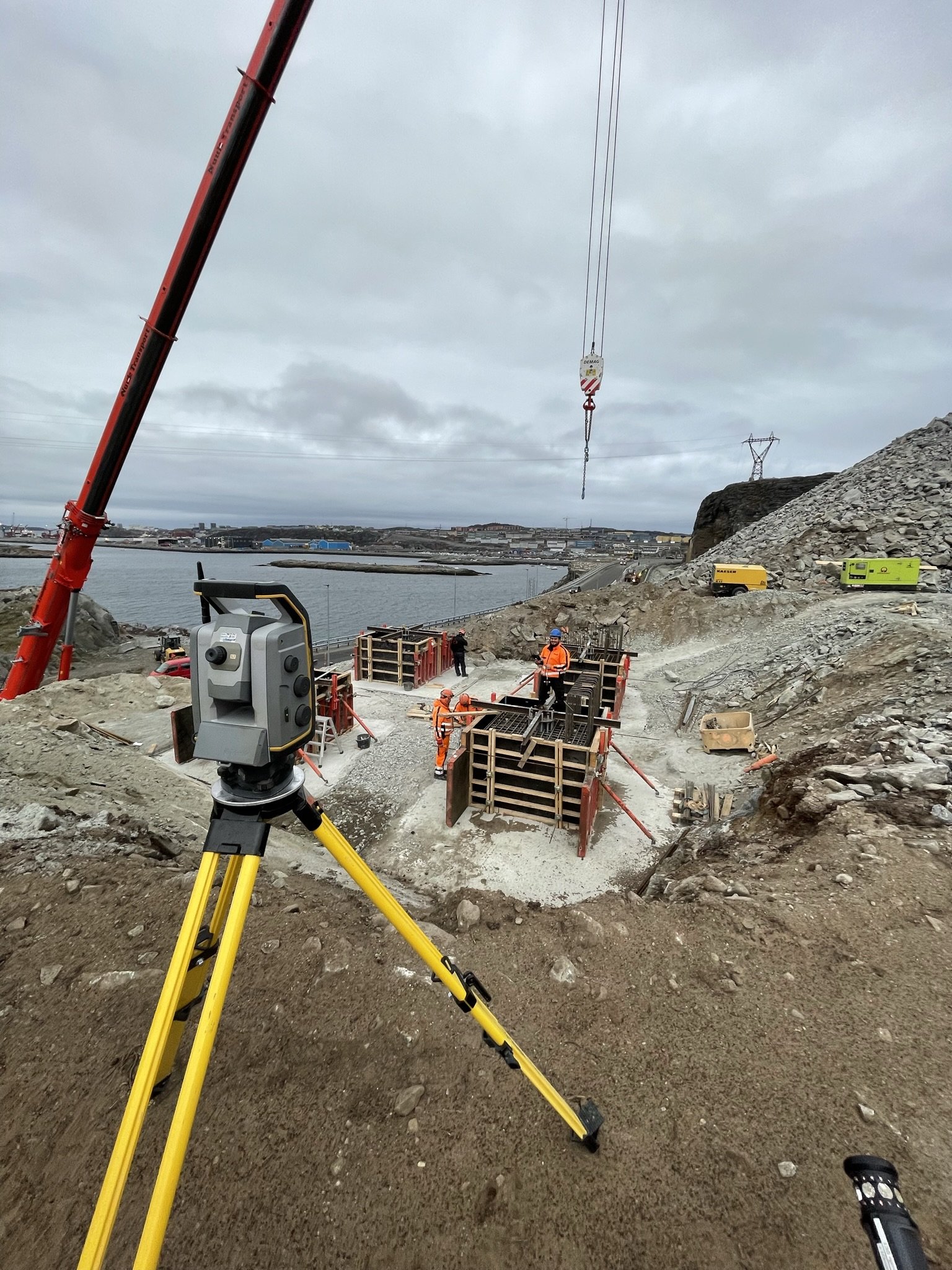
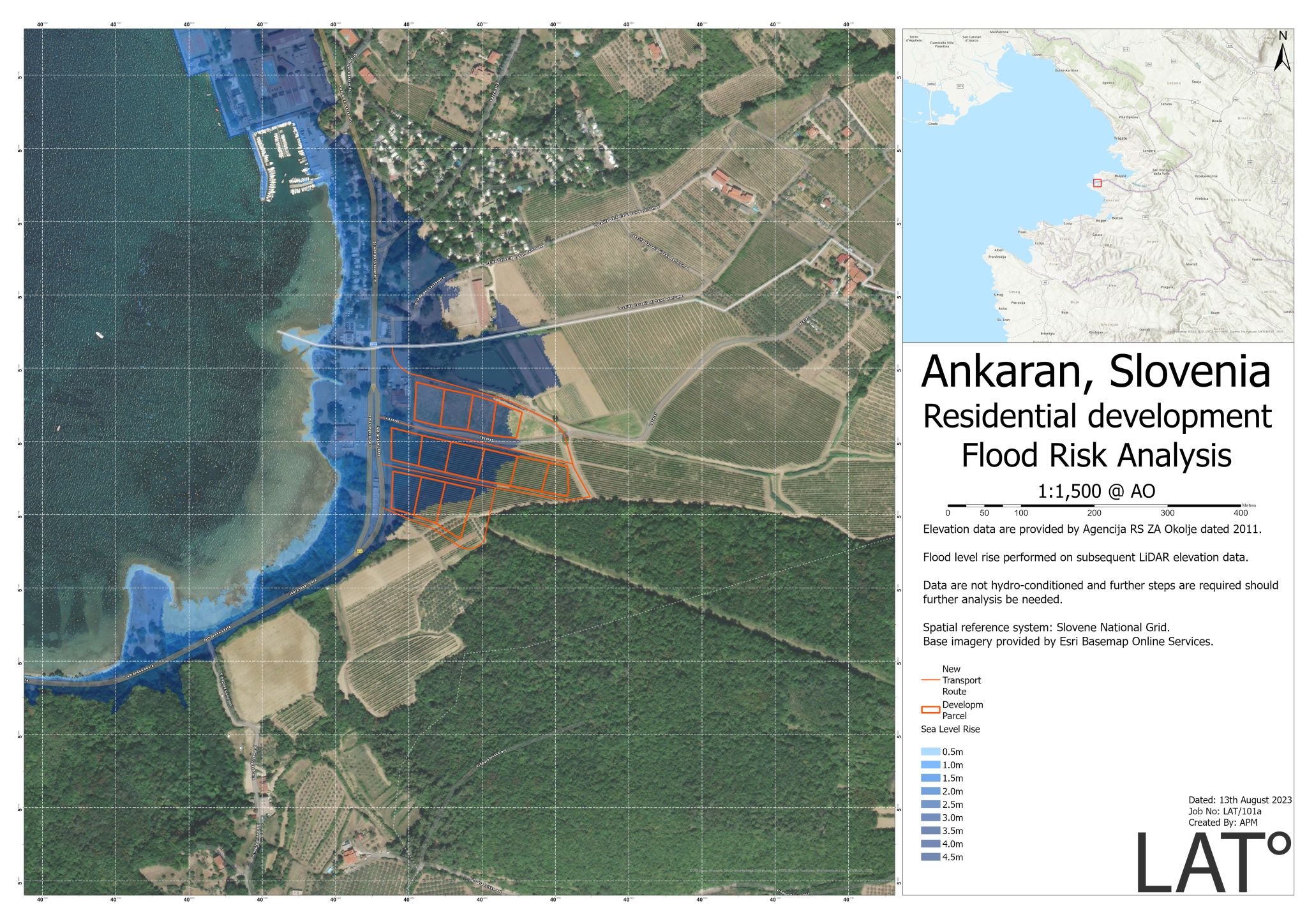
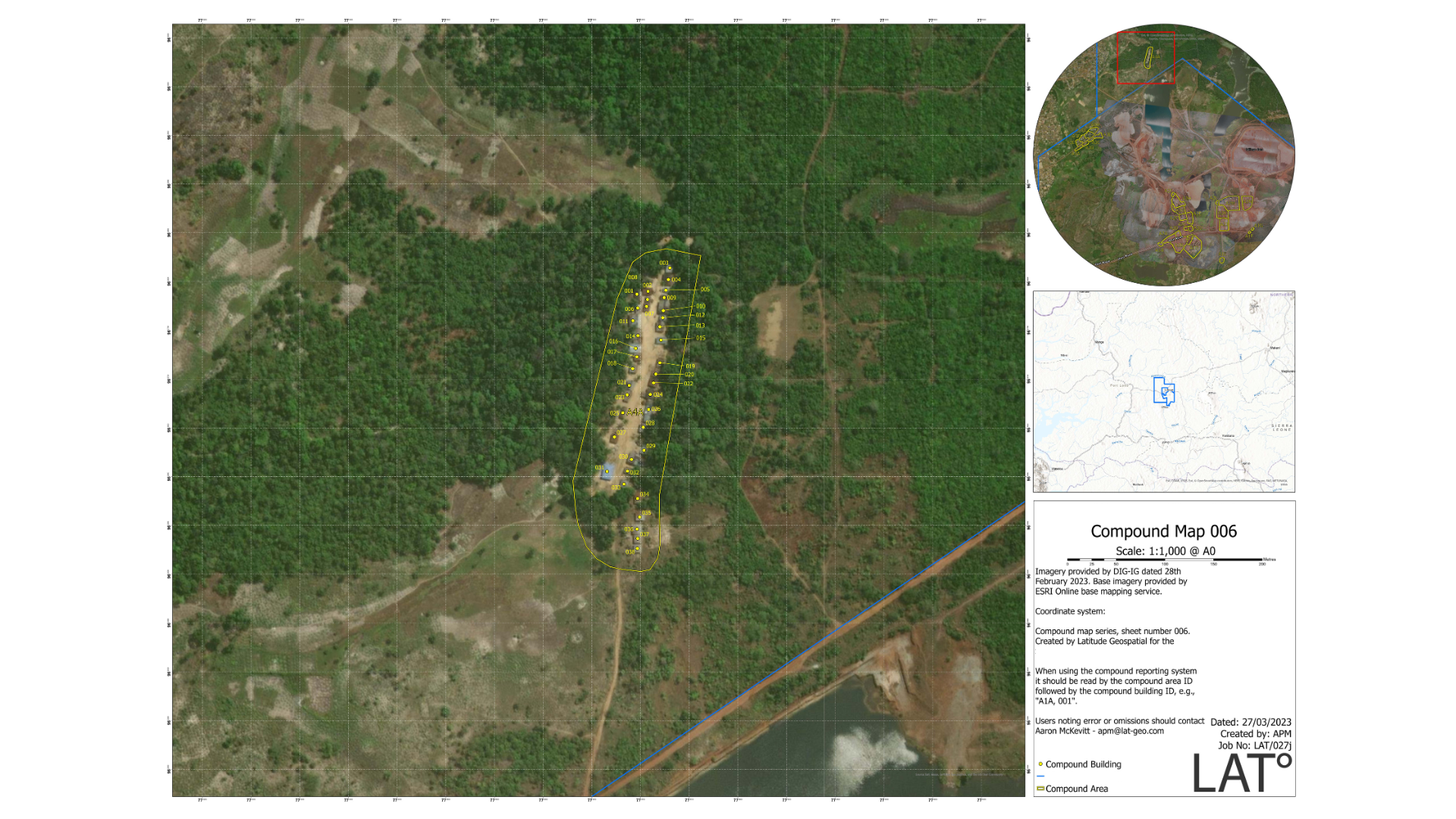
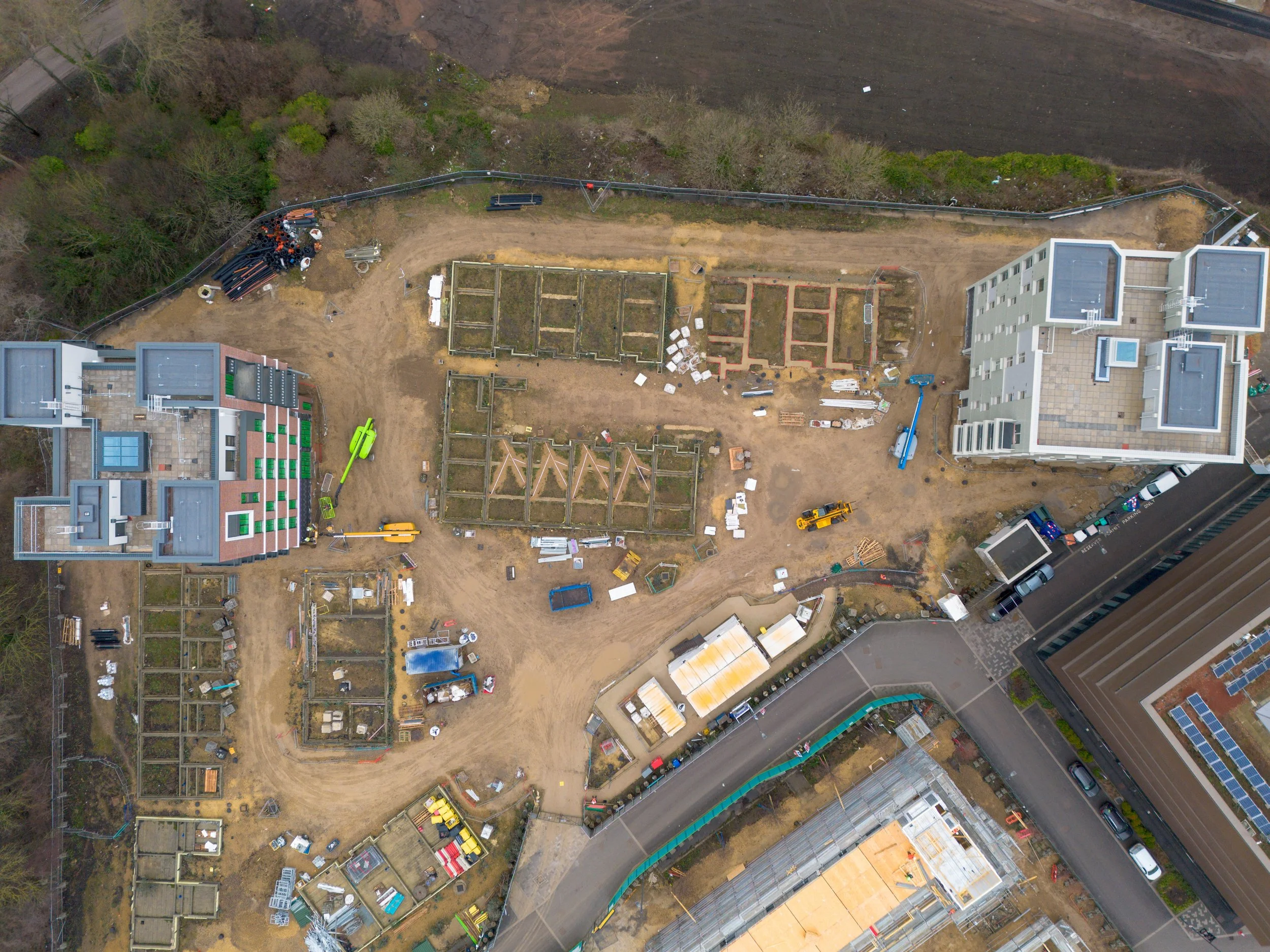
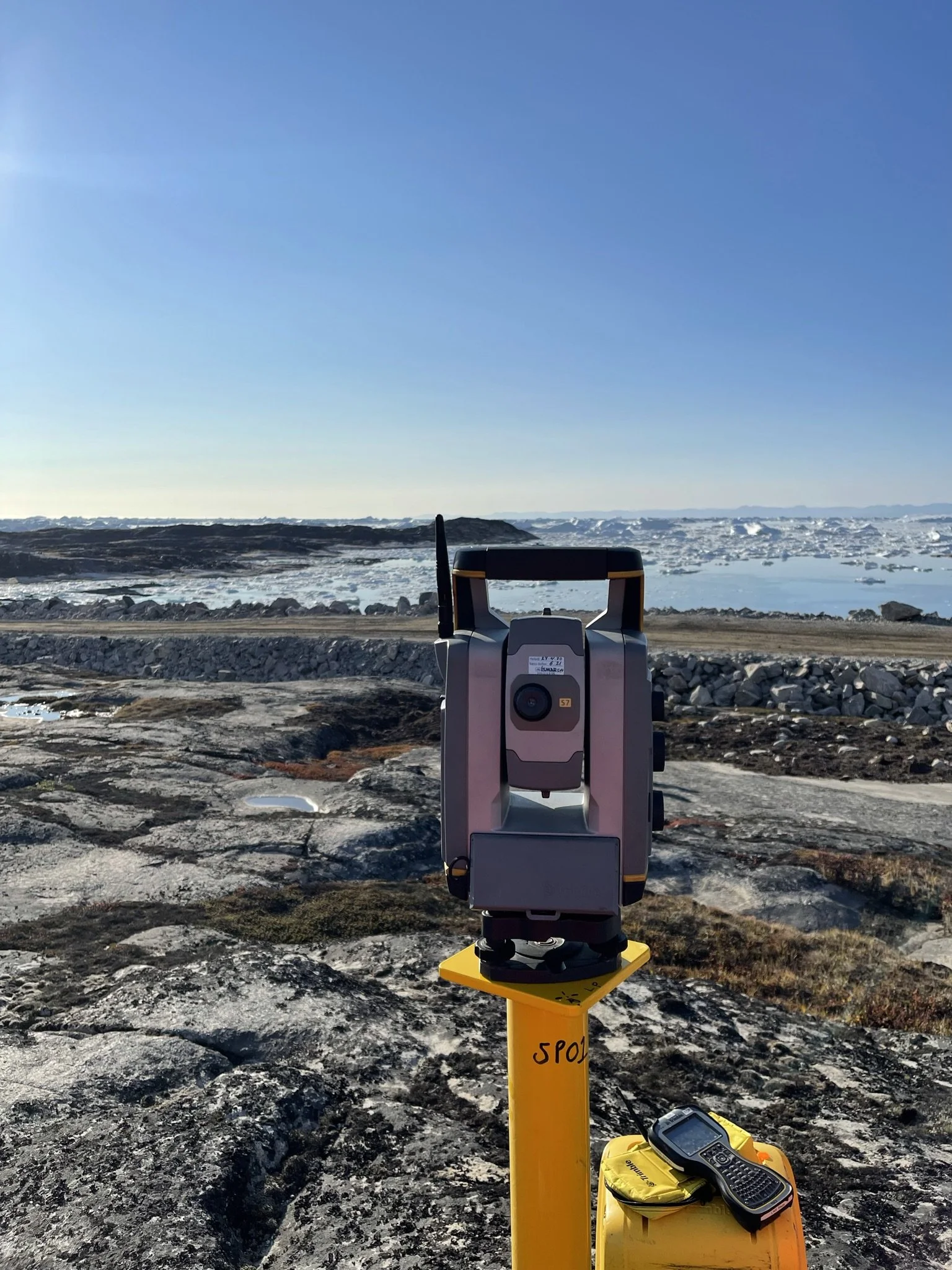
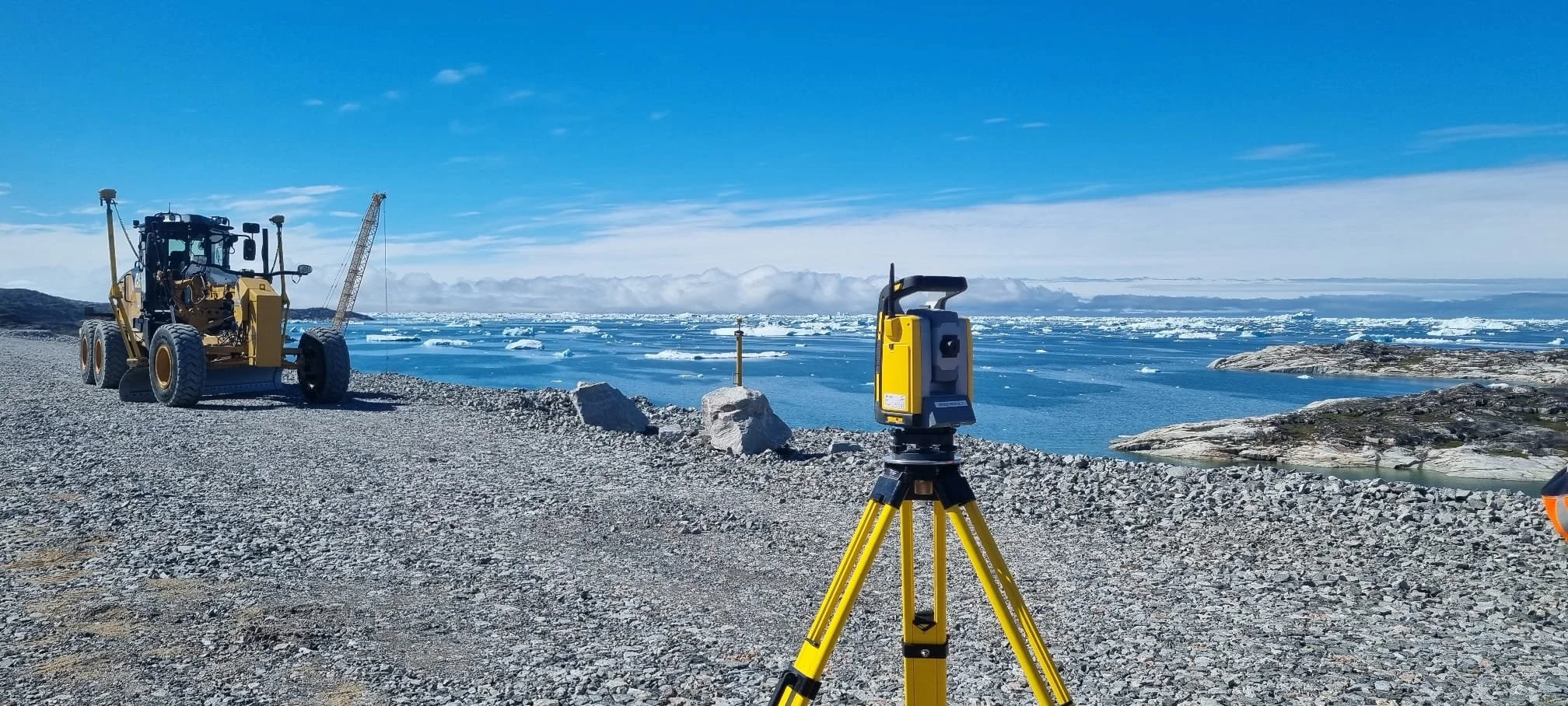
We have delivered projects in the UK, Greenland, Sierra Leone, Zambia, and more.
Commissioning a Drone Survey?
Enter your details to get your FREE client checklist.


Trusted partners:


Testimonials