
MML - Mineral Exploration Case Study
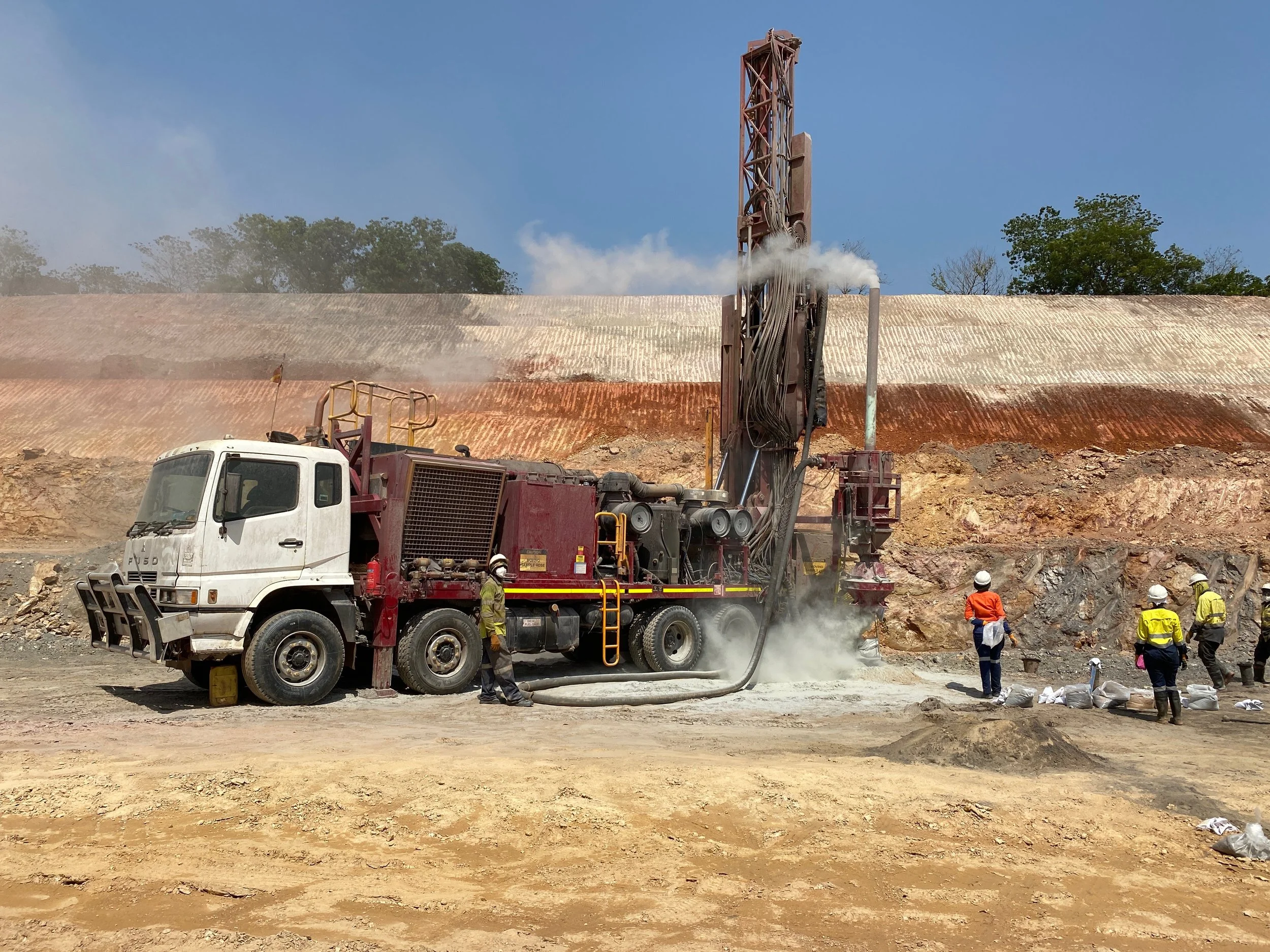
The need for critical materials for further use within industry has been long identified as a key activity throughout many areas of the world. MML, owned by Gerald Group, operate within the Lunsar district in Sierra Leone and are one of West Africa’s largest iron ore producers.
Wanting to take a digital approach to what is a very traditional phase of any mining operation, MML were seeking to integrate various data sources into one manageable platform for easy to access stakeholder engagement and quick data dissemination.
LAT were privileged to be awarded a contract to assist MML in their mineral exploration phase within their concession in Sierra Leone. A blended approach including services such as GIS, remote sensing, and project management led to critical decision making, improved safety throughout the exploration areas, and integral stakeholder engagement spread over 3 continents. Assisting with spatial data infrastructure (SDI), spatial analysis, security integration, and near-real time field data, LAT proved to be at the forefront of the mines spatial merging.
Allowing for data-interoperability, quick and easy spatial information access, and a centralised storage approach meant that the field and office teams were all utilising a common dataset with near real-time updates.
The GIS approach, coupled with remote sensing and rigid project management, has been estimated to save approximately 30% in management time when compared to traditional methods. This led to the project being a success and, ultimately, enabling the mine with its long-term mineral extraction plans.