
Insights


The Complete Guide to Geospatial Technologies for Construction Projects
The complete guide to geospatial technologies for construction projects

Scope Definition for Geospatial Projects
The Hidden Foundation of Geospatial Success: Why Scope Definition Makes or Breaks Projects

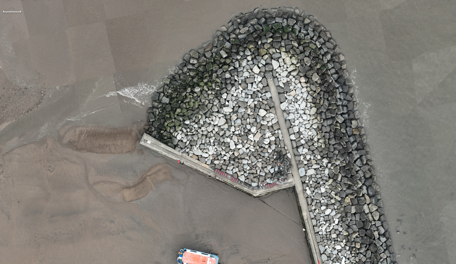
The Critical Role of Geospatial Data in UK Flood Risk Management
Every year, the UK experiences flooding events that can potentially be reduced through the use of geospatial data and modelling.


Dredging and Geospatial Technology
Enabling safe maritime operations with geospatial technology.