

Insights

Why you should consider GIS over CAD on your next project
Why Decision-Makers Should Adopt This Transformative Technology

Disaster Management & Emergency Response
How GIS and Remote Sensing can assist with disaster management


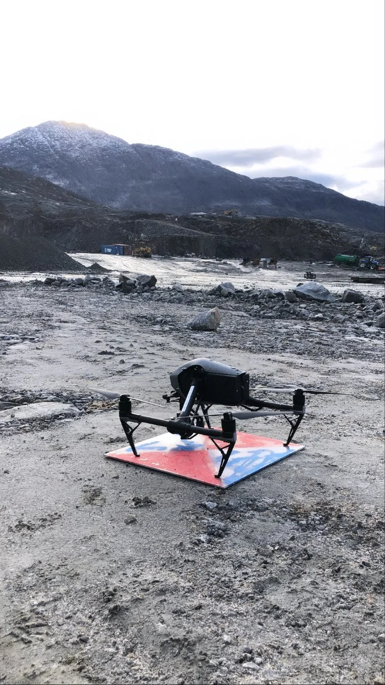
Drones in the AEC and Mining Landscapes
And how they can greatly benefit your organisation and projects

3 Ways To Implement Spatial Information Into the Project Lifecycle
And why you should be implementing these procedures.

Benefits of Remote Sensing
How involving Remote Sensing into the project lifecycle how increase productivity
