Practical Geospatial Support for Every Stage of Mining
For decades, the mining industry has relied on traditional exploration methods. However, these data-heavy environments often face high uncertainty during early stages and operational delays later on, both of which threaten financial viability. Here, at Latitude Geospatial, we provide a practical framework to manage these challenges, supporting projects from initial resource mapping to environmental compliance and daily operations.
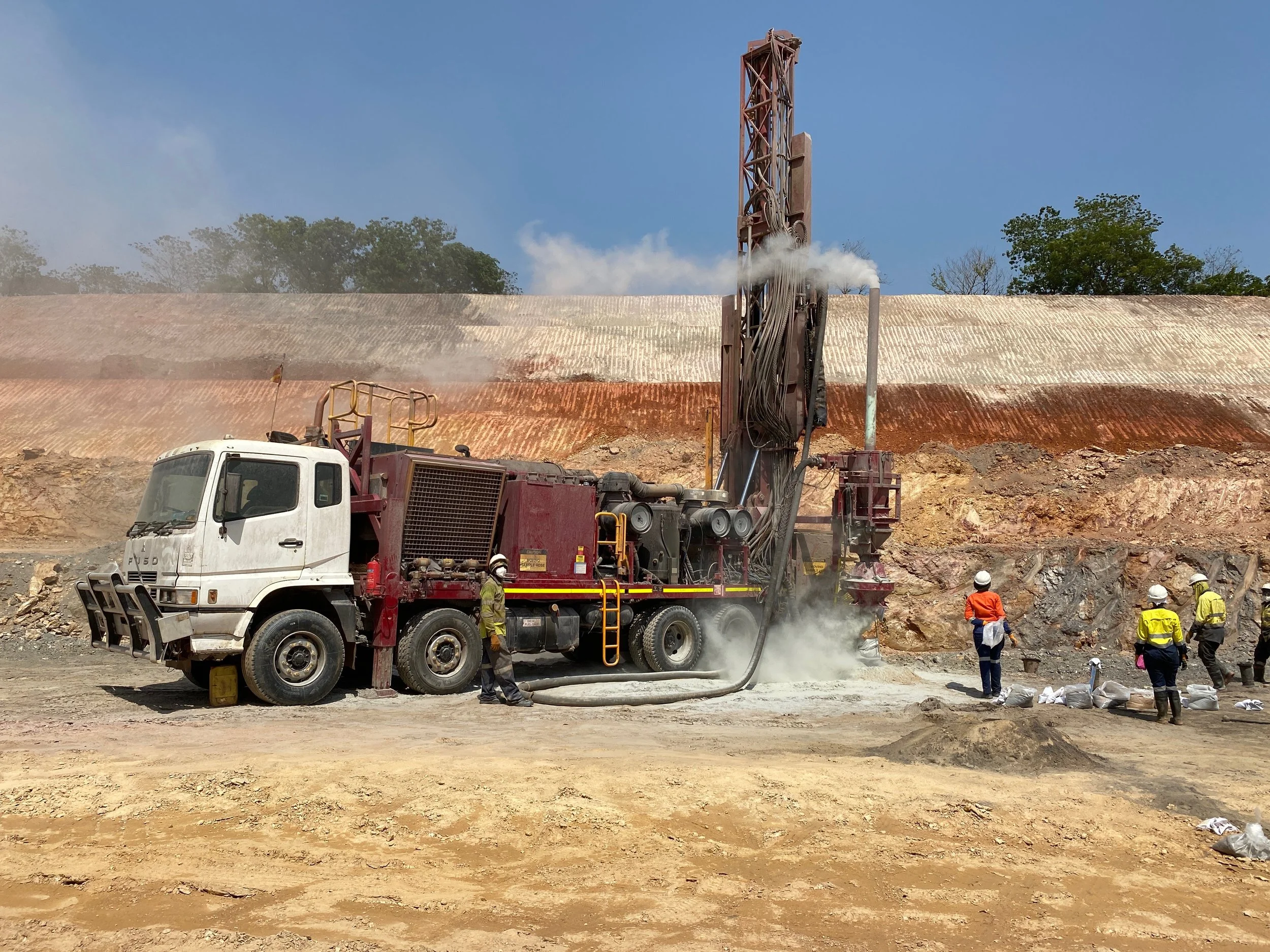
Modern mapping tools have changed how companies access potential sites. We use multispectral and hyperspectral remote sensing to detect surface features and mineral signatures that suggest underground deposits.
By using targeted analytics, mining companies can:
Reduce costs: Minimising the need for expensive and time-consuming exploratory drilling
Increase accuracy: Identifying geological features with greater precision before breaking ground
In 2023, we provided multi-disciplinary services in Sierra Leone and MML’s concessions. By centralising data and streamlining communications across three continents, we improved site safety and save an estimated 30% in management time compared to traditional workflows.
Beyond finding minerals, spatial data plays a pivotal role and improves how projects are built and managed. Our site engineering team uses various tools and equipment for cut/fill analysis allowing the exact volume of material to be removed when comparing to designs. This ensures earthworks are handled economically and helps stakeholders make grounded decisions about equipment and labour.
Furthermore, expanding on innovative tools and techniques, we utilise high-resolution satellite imagery, LiDAR platforms, and drones to map complex terrains before operations begin. This allows organisations to:
Identify and avoid environmentally sensitive zones
Assess ground stability and identify potential hazard areas
Design and plan large-scale mining operations
Accurate site data enables faster, more informed decision-making, keeping operations on schedule and maintaining productivity. These tools and methods are also applied for ongoing operational support once mineral extraction has started. Assisting with site monitoring, design reviews, as-built documentation, quantity assessments, and more.
Utilising advanced GIS techniques, we are assisting FQML with an operational dashboard that transforms raw vehicle telemetry data into an interactive visual map leading to FQML effectively and efficiently manage their light vehicle fleet, leading to:
Enhanced safety through better vehicle tracking
Reduced fuel consumption and carbon impact
Improved logistical efficiency
Latitude Geospatial bridges the gap between finding a resource and successfully extracting it. By integrating reliable spatial data into your workflow, your team can move away from reactive fixes and towards a more efficient, predictable, and sustainable way of working.
Get in touch with our award-winning team to start your spatial journey today.